A look at how, for over 200 years, Ordnance Survey has mapped every square mile of the British Isles, capturing not just the contours and geography of the nation, but of our lives.
For over 200 years, Ordnance Survey has mapped every square mile of the British Isles, capturing not just the contours and geography of our nation, but of our lives. Originally intended for military use, OS maps were used during wartime to help locate enemy positions. In peacetime, they helped people discover and explore the countryside.
Today, the large fold-out paper maps, used by generations of ramblers, scouts and weekend adventurers, represent just a small part of the OS output. As Ordnance Survey adjusts to the digital age, Timeshift looks back to tell the story of a quintessentially British institution.
Last on
Clips
-
![]()
The OS map
Duration: 02:30
-
![]()
Ellis Martin covers
Duration: 02:31
-
![]()
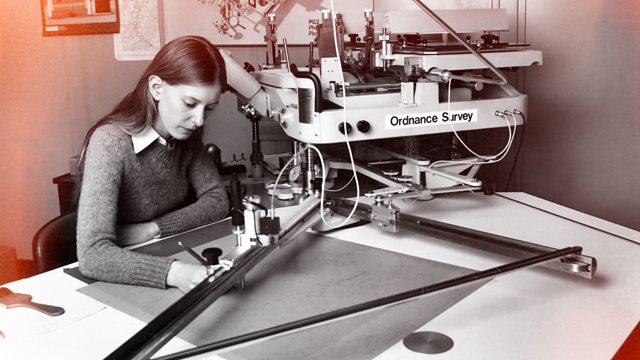
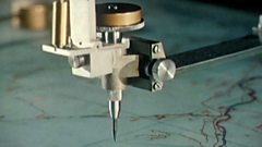
The stereoplotting machine
Duration: 01:31


Music Played
Timings (where shown) are from the start of the programme in hours and minutes
-
![]() 00:04
00:04Bill Black’s Combo
Smokie (Parts 1 and 2)
-
![]() 00:25
00:25Quintette du Hot Club de France
Minor Swing
-
![]() 00:36
00:36Sigur Rós
Ba Ba
-
![]() 00:50
00:50Four Tet
Circling
-
![]() 00:51
00:51Brian Eno
Deep Blue Day

Credits
| Role | Contributor |
|---|---|
| Narrator | Lesley Manville |
| Producer | Jon Morrice |
| Director | Jon Morrice |
| Series Producer | William Naylor |
Broadcasts
 Wed 9 Sep 2015 21:00
- Thu 10 Sep 2015 03:00
- Mon 14 Sep 2015 00:30
- Boxing Day 2015 23:30
- Thu 5 May 2016 21:00
- Tue 10 May 2016 03:00
- Tue 10 May 2016 22:05
- Thu 20 Oct 2016 22:00
- Mon 24 Oct 2016 20:00
- Thu 6 Apr 2017 20:00
- Fri 7 Apr 2017 01:30
- Tue 19 Sep 2017 02:30
- Tue 13 Nov 2018 00:00
- Mon 17 Feb 2020 00:00