Magna Carta: Lasers help reveal clues behind King John's lost treasure
- Published
Laser technology is providing fresh clues about the mysterious disappearance of King John's lost treasure and where it could be hidden.
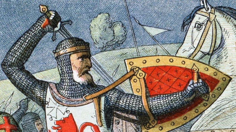
Legend has it that crown jewels, gold and money were lost in the medieval mud of the fens in 1216.
It was the year after the Magna Carta was sealed, the country was in revolt and King John was having to quell rebellion uprisings. He had been travelling from the port of King's Lynn to Lincoln when, according to historical chronicles, the treasure was lost.
It has since become one of the most sought after troves in the country.
Now, clues about the disappearance of King John's treasure have been unearthed in a "game changing" archaeological survey, according to historian and archaeologist Ben Robinson.
"These images show in remarkable detail the way the landscape has changed radically since King John's time," says Mr Robinson, who has been investigating the route for the BBC's The Last Journey of the Magna Carta King.
"Our view now of straight roads and rectangular fields in the fens is not reflective of the landscape the king had to travel through."
These latest images have been created by a system called LIDAR - Light Detection and Ranging - which uses a combination of lasers and GPS data.

Light Detection and Ranging (LIDAR)

LIDAR survey images were created from data gathered by the Environment Agency's Geomatics team using an airborne laser pointed at the ground at 167,000 pulses per second.
The light from the beam is then reflected back towards a sensor on the aircraft from the surface it encounters. The longer it takes for the beam to return, the lower the ground is.
Combining this information with GPS data the result is a highly detailed survey of the landscape, revealing far more than a standard aerial photograph.


"Every so often in archaeology there's a game changer in our understanding of the past.
"In the 20th Century we had aerial photography to show us changes in the landscape, radio carbon-dating was also a game changer and LIDAR falls into that category," continues Mr Robinson.
The images show us a mosaic of challenging environments from peaty swamp to higher areas of silt washing in from the coast.
"Among this are tree root-like drainage patterns which are salt marsh creeks that wind inland.
"We still see these on the fringes of the Wash coast today around Brancaster and Thornham, but in King John's time these creeks would have extended miles inland and would have been a very difficult landscape to move through."

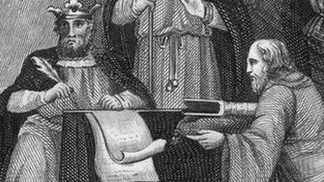
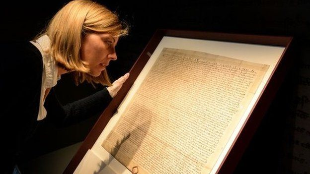
The Magna Carta

- The Magna Carta outlined basic rights with the principle that no-one was above the law, including the king
- It charted the right to a fair trial, and limits on taxation without representation
- It inspired a number of other documents, including the US Constitution and the Universal Declaration of Human Rights
- Only three clauses are still valid - the one guaranteeing the liberties of the English Church; the clause confirming the privileges of the city of London and other towns; and the clause that states no free man shall be imprisoned without the lawful judgement of his equals
- About 250 copies were created, however it is impossible to know the exact figure as no official list was created. The British Library has two copies of the 1215 Magna Carta
Source: The British Library
Experts remain undecided as to the nature of the lost treasure, though it supposedly includes crown jewels, jewellery and gold coins.
So, why did the king's baggage train risk such a treacherous route across the Sutton Bridge area?
"Seeing these ancient marshes revealed makes you wonder about King John's situation and if the baggage train had a guide or not," says Mr Robinson.
"If the train got into difficulties by crossing the estuary too early, as it appears, it raises questions as to why this was allowed to happen.
"I'm certain some misfortune happened to the baggage train, but we don't know exactly what was lost and neither do the chroniclers tell us exactly what was recovered."

For years King John's lost treasure has been a "great enduring mystery of England and the Fens" but for all the LIDAR images' accuracy they will be no help for would-be treasure hunters.
"They won't show where the treasure actually is or if indeed the treasure is there," says Mr Robinson.
"You can see how anything would have been buried by layer-upon-layer of silt washing across it. Every new tide would have deposited more silt across any treasures and that might be why the legend persists.
"The maps show us the build up of silt [green areas] has been massive over the centuries, so we'd be looking for something that would now be very deeply buried.
"If there's anything there it would be like looking for a needle in a haystack as there are still hundreds of hectares of fields that could be where the royal baggage train got into difficulty."
The Last Journey of the Magna Carta King is on BBC Four at 20:00 GMT on 9 February.
- Published19 January 2015

- Published19 January 2015

- Published1 January 2015
.jpg)
- Published29 December 2014
- Published12 September 2014

.jpg)

