Deforestation: Aberystwyth Uni satellite maps show global impact
- Published
How is the rainforest helping limit global warming?
Maps showing the extent of global deforestation from space have been made to help save the planet.
Aberystwyth University scientists used satellite data to make images showing how the world's forests have changed in the last decade.
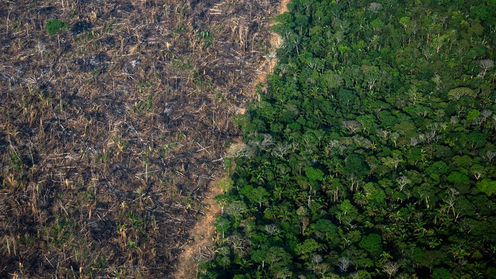
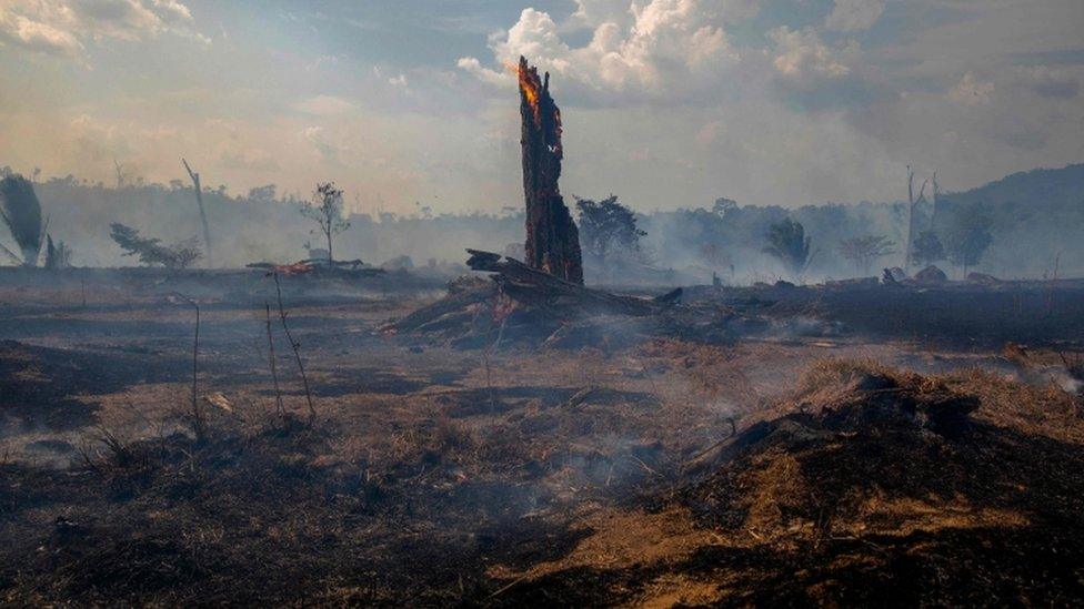
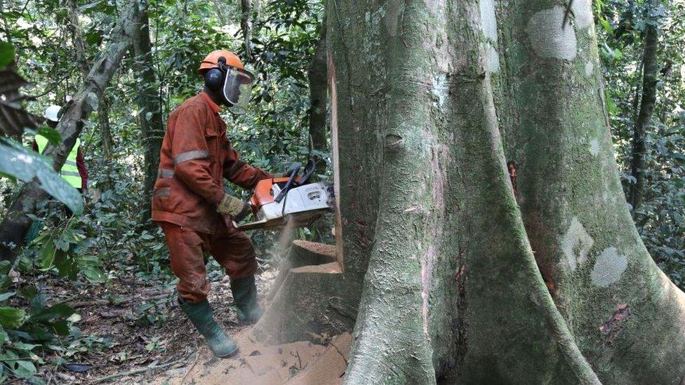
The maps highlight the impact of chopping down trees in places like the Amazon.
They also show the effect of bush fires in Australia and larch disease in the UK.
The work is being published as part of a European Space Agency project run by the Aberystwyth team.
Trees are considered vital in the fight against climate change as they soak up carbon dioxide and store it in their trunks, branches and roots.
The scientists said their research would allow the estimation of global carbon stocks.
Your device does not support this visualisation

The maps are set to be published online and exhibited at Machynlleth's Centre for Alternative Technology.
Prof Richard Lucas, of Aberystwyth University's earth observation group, said the information should be used "to prevent further losses of forest integrity".
He said: "We are ensuring this data becomes available to all interested and relevant stakeholders, including the public, to inform and drive proactive responses."

Aberystwyth University scientists used satellite data to make the images
The team's work was showcased at Glasgow's COP26 climate summit where over 100 countries signed a pledge to try and end deforestation by 2030.
Aberystwyth University's Heather Kay said the team's data would "provide key information on whether these targets are being met".

FUNNIEST WELSH TV OF LAST CENTURY: Join Kiri on a journey of comedic discovery
DIG OUT YOUR CAGOULE AND TIE UP THOSE BOOTS: The Welsh Coast awaits, explore it with Derek

- Published11 February 2020
- Published2 November 2021
- Published19 November 2021