Thameslink to be restored to London Underground map
- Published

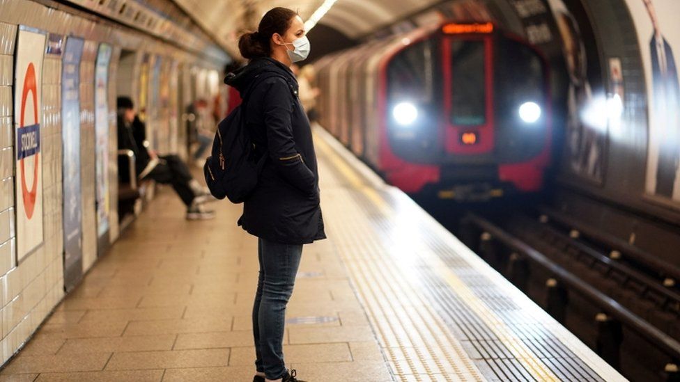
A rail line is returning to London's Tube map 22 years after being removed.
After a long-running campaign, Thameslink services will be back on the map from next month having been first displayed in 1987 but removed in 1999.
The network runs between Bedford and Brighton via central London, including stations such as Blackfriars, London Bridge, and St Pancras International.
It will be marked on the London Underground map as a pink and white segmented line.
Transport for London said its return to the Tube map was a temporary measure to help people move around the capital during the coronavirus pandemic, and would be reviewed at the end of 2021.
Dr Alison Moore, who chairs London Assembly's Transport Committee, said bigger trains were "vital" for people travelling safely across London.
She added: "The Thameslink line is an essential addition to the Tube map so Londoners who have to travel during the Covid-19 pandemic have more options to do so, not least during this difficult festive period."
The information will also help passengers with disabilities, as the Thameslink trains are designed for accessibility, Dr Moore said.
TfL's head of customer information and partnerships Julie Dixon said the addition had been "complicated" but would "benefit Londoners".
- Published27 October 2020